About University
About University
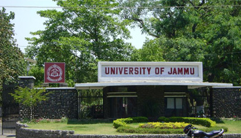
Cradled in the lap of mountains at the foothills of auspicious Trikuta, besides the river Tawi at an altitude of 1030 ft. is Jammu. This 'city of temples' has many places...
Cradled in the lap of mountains at the foothills of auspicious Trikuta, besides the river Tawi at an altitude of 1030 ft. is Jammu. This 'city of temples' has many places...


One of the emerging challenges faced by any higher educational institution is the development, application and maintenance of quality...
M.Sc. Programme
Ph.D. Programme
| Name | Designation | Qualification | Specialization | Contact Info. |
|---|---|---|---|---|
| Prof. A.S. Jasrotia | Professor & Head | M.Sc., M.Phil, Ph.D & P.G. Diploma in Remote Sensing & GIS | Remote Sensing & GIS | E-mail: asjasrotia@yahoo.co.ukEPABX: Mobile No.: 9419133793 |
| Dr. Ajay Kumar Taloor | Assistant Professor | M.Sc., Ph.D & P.G. Diploma in Remote Sensing & GIS | Remote Sensing & GIS | E-mail: ajaytaloor@gmail.comEPABX: Mobile No.: 9419116573 |